From field to data.From data to decisions.
From drones to civil engineering instruments and sensor-equipped devices, FLYLENZ collects and reports field data in real time and builds reusable data assets from continuous records.
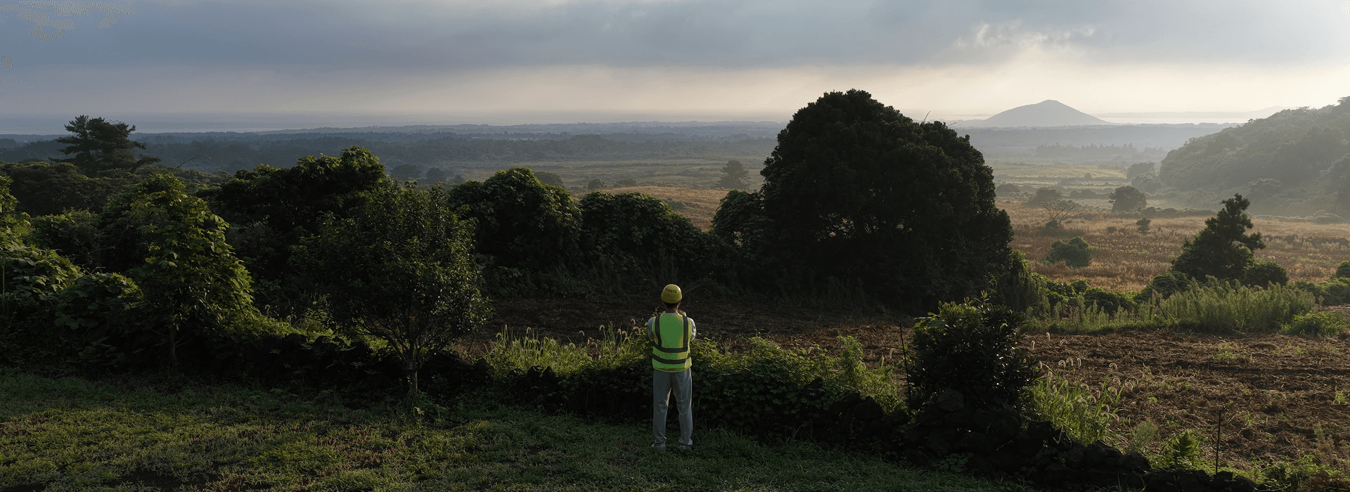
Different devices. One connected data flow.
Connect images, locations and measurements through time and place. Report current conditions, compare previous records and build evidence for the next decision.
Collect
Gather imagery, coordinates and instrument or sensor measurements in the field.
Report
Connect collection status and readings to dashboards and task-specific reports.
Accumulate
Retain time, location and equipment context as a comparable history.
Use
Build a foundation for change analysis, operational improvement and new services.
Today’s observations. Tomorrow’s evidence.
Go beyond file delivery. Preserve the context of field records and build a foundation for comparison and analysis with every observation.
The technology behind the flowCivil & infrastructure
An operating model connecting measurements and equipment history for condition review over time.
Agriculture & spatial surveys
An application connecting drone observations and location records. Farmland surveys are one use case.
Environment & observation
A use scenario accumulating observations from multiple sites by time and location.
Public field operations
A workflow connecting survey evidence and report history to support review and follow-up work.
Integration scope depends on each device’s protocol, format and sampling interval. Reporting freshness depends on connectivity and equipment conditions.
Beyond a report. A view of your operation.
Explore progress, maps, collection records and reports in one place. The current demo uses simulated agricultural survey data; it is not a live customer or sensor integration service.
Explore the demoJEJU / GUJWA / FLZ-2026
Overview
Project progress
82.5%
+4.8%Total missions
4,125
12 AREASArea captured
1,842 ha
DEMO AREAAuto reports
38
READYILLUSTRATIVE FIELD MAP
Report generated
JL-0425 · 09:48
Field data synced
JL-0426 · 10:14
Data review needed
AREA 08-17 · 10:26
Understand the field. Design how data is used.
Useful systems start with an understanding of equipment, field work and data. FLYLENZ designs the flow from collection and reporting to reusable data assets.
Meet FLYLENZ
FLYLENZ blog
Another way to understand the field.
From drones to civil engineering instruments: stories about collecting, reporting and accumulating field data.
Field data
Where drone records and civil engineering instruments meet
Why images and measurements need shared time, location and units before they can be reviewed together.
Field data
FLYLENZ connects the data behind the field
From drones to civil engineering instruments: how FLYLENZ connects collection, reporting and accumulated field records.
Real-time reporting
Six steps from field data to the next action
Installing equipment or finishing a flight is only the beginning. Follow the workflow from collection to reporting and reuse.
Explore FLYLENZ in Korean, English, Japanese and Chinese
Which field data would you like to connect?
Start with your devices, measurements, sampling intervals and reporting needs.
Contact channel coming soon
Explore the platform